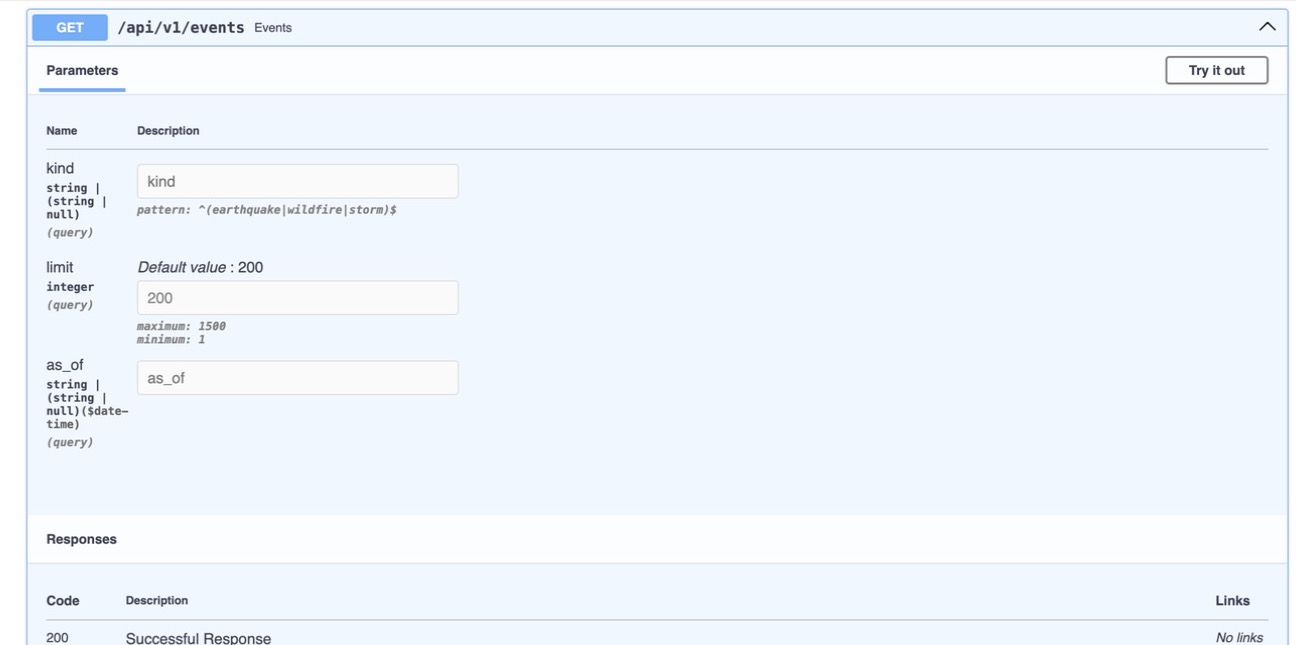
Earth Intelligence started with a fairly simple idea: put natural-event feeds into a common format so I could explore them together on a globe. I built the backend first, combining USGS earthquake records and NASA EONET wildfire and storm events, with an optional Open-Meteo weather endpoint.
I kept source status visible in the API because a quiet feed and a failed fetch are different things. Each provider can fail without bringing down the whole service, and the source endpoints report what is available. The saved snapshots also have a clear starting point: replay can only show data this instance actually collected.
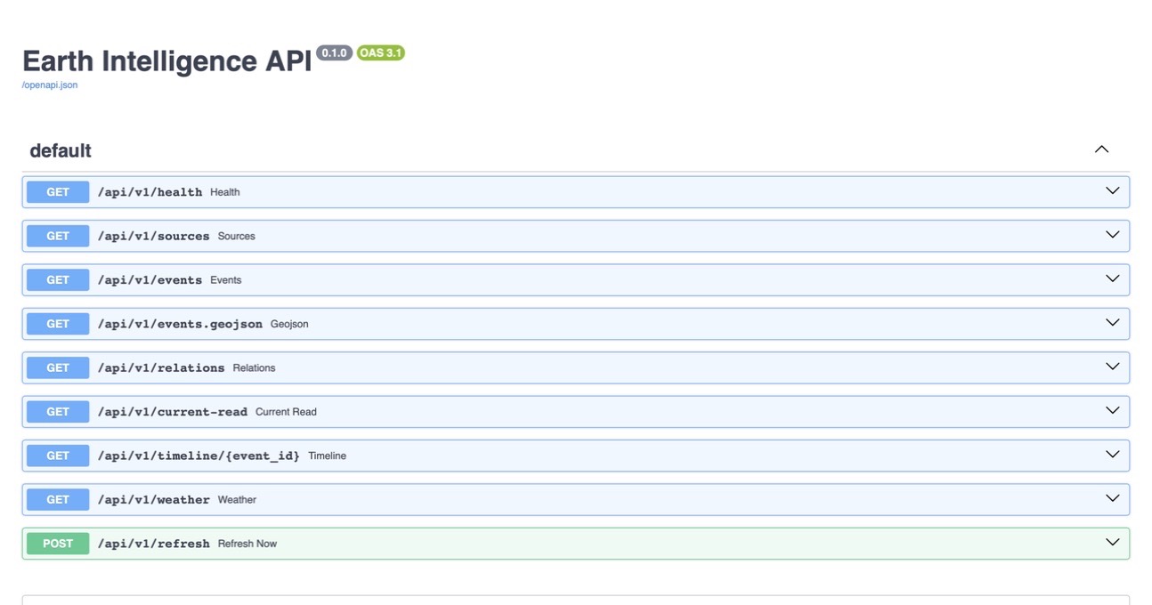
The API returns JSON and GeoJSON, refreshes its sources in the background and saves successful fetches in SQLite. That makes it possible to revisit what the server saw at a particular time. The code is on GitHub. It is still a backend project; nearby events are shown as nearby events, without assuming one caused another.